Channel Partner of ideaForge
GLOBAL LEADER IN UAV TECHNOLOGY
ideaForge is a product focused UAV systems organisation, developing drones for a variety of mapping and security applications. ideaForge believes in being unrivalled at pushing the limits of what’s possible with UAVs and to drive the adoption of this technology for enhancing productivity and security. Our drones are built like a Bird and tested like a Tank with the focus on delivering on the user’s Mission. They boast of high performance, reliability, and autonomy to get the job done with the least stress.
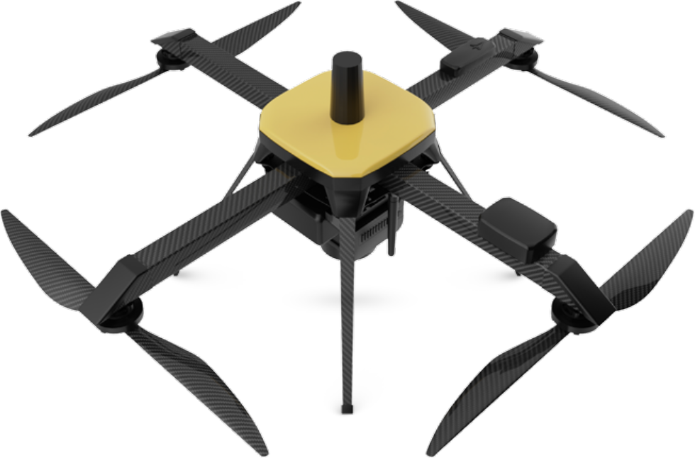
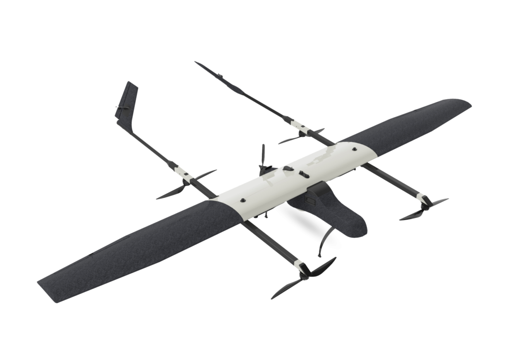
SWITCH UAV
Changing the Dynamics of All Terrain Surveillance
SWITCH UAV is a first of its kind VTOL and fixed wing hybrid Uncrewed Aerial Vehicle. SWITCH features advanced flight time, higher safety and simple operation with additional fail-safe redundancies.
It is used for long range, high endurance last mile surveillance and security operations.
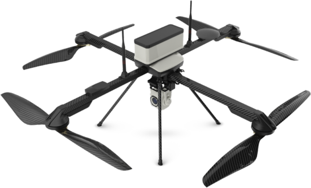
NETRA V4 UAV
Intelligent Eye in the Sky for Surveillance – The High-altitude Sentinel
NETRA V4 is an intelligent & manportable VTOL UAV with industry-leading performance at high altitudes. NETRA V4 modular and rugged design is tested in extreme environments.
NETRA V4 is a preferred choice for ISR by homeland security and defence customers across the globe.
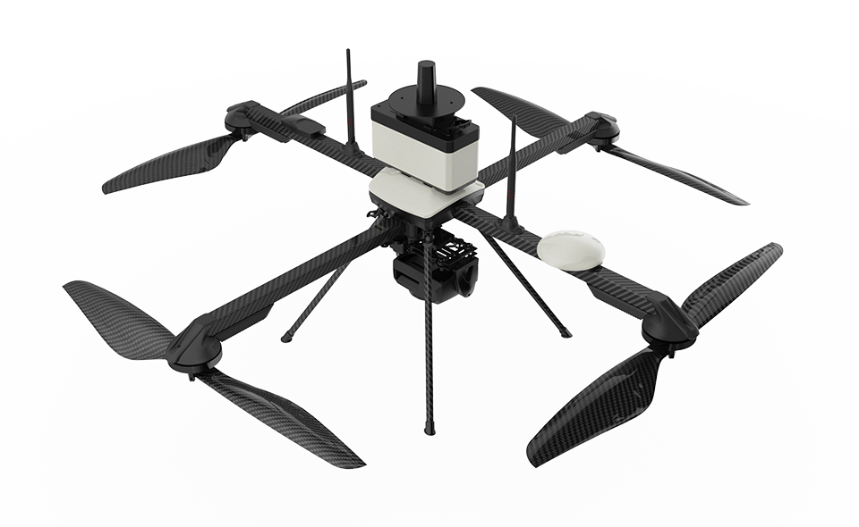
Q6 UAV
Get ready to map like never before – Q6 UAV Endurance Champion
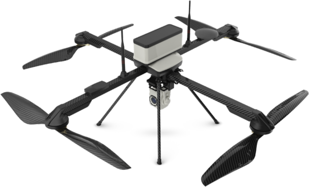
Q6 Mapping UAV is ideaForge’s Small category Drone with unmatched flexibility & ease of operation, even when compared to Hybrids. Its Quadcopter design & high area coverage ensures you can stay on field longer and finish your large scale mapping projects quicker. Its included BlueFire Ground Control Station makes flight planning quick and simple, and helps you focus on your survey grade outputs while minimizing piloting workload.
NINJA UAV
Start your drone program with NINJA – Lightweight Scout
NINJA UAV is ideaForge’s lightest Drone, built for security, surveillance and mapping applications. With Swappable payloads, NINJA delivers success to your missions, either day or night

RYNO UAV - Mapping Maestro
Get ready to map like never before – RYNO UAV Mapping Maestro
RYNO UAV is our micro category survey-grade drone equipped with an advanced mapping payload and state-of-the-art PPK Module. With our extensive experience in building MIL SPEC drones, we have ensured that RYNO UAV offers category-defying performance even in the most demanding conditions.

Q4i UAV - Enterprise Specialist
Your Homeland Security Expert – Q4i UAV – Enterprise Specialist
Q4i is ideaForge’s small category VTOL Unmanned Aerial Vehicle (UAV) based on our best-in-class drone technology. It is one of ideaForge’s most economical and efficient drone built with tried-and-tested military design philosophies. Q4i UAV can ideally be used for Surveying, Mapping, Security & Surveillance, Inspection, Photogrammetry, Traffic Management, Crowd Management & Disaster Relief.
